The Global Positioning System was born in the 1950s, thanks to the launch of a satellite. When the first Soviet satellite entered orbit, the Americans noticed that as it moved away, it evenly changed its signal frequency. Scientists analyzed the data and realized that the satellite signal can accurately determine the coordinates of objects on the ground, as well as the speed of their movement. The first to adopt the GPS system were the military: the Ministry of Defense launched satellite navigation for its own purposes, but a few years later it became available to civilians.
Now there are 24 satellites in earth orbit, which transmit reference signals. The number of satellites changes periodically, but always remains sufficient to keep the Global Positioning System running smoothly. There are spare satellites in case of force majeure, and every decade new, upgraded spacecraft are put into orbit because nothing should disrupt GPS operation.
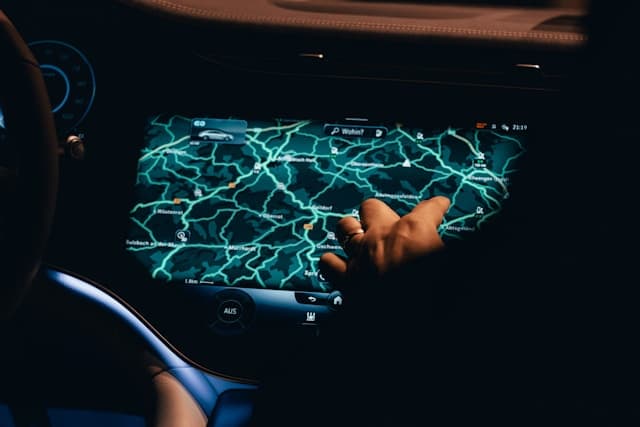
The satellites orbit six orbits, forming an interconnected network. It is operated by special GPS stations, which are located in the tropics but linked to a coordinating center in the United States. Thanks to this network, you can find out the exact coordinates of a person, a car, or an airplane at the speed of the signal from the satellites, that is almost instantly, and the accuracy of the readings does not depend on the weather conditions and time of day. The use of the Global Positioning System itself is free, and the only thing you need to use this navigation system is a navigator or other device with the GPS function.
HOW GPS WORKS
The technology is based on the simple principle of marker object navigation, which was used long before the advent of GPS. A marker object is a landmark whose coordinates are known precisely. To determine the coordinates of an object, you also need to know the distance from it to the marker object, then you can draw lines on the map toward the markers from the possible location: the point of intersection of these lines will be the coordinates.
Satellites in Earth orbit play the role of marker objects in GPS. They are spinning rapidly, but their locations are constantly tracked, and every navigator has a receiver tuned to the right frequency. Satellites send signals that encode a lot of information, including the exact time. Accurate time data is one of the most important for determining geographic coordinates: guided by the difference between radio signal return and reception, the satellites calculate the distance between themselves and the navigator.